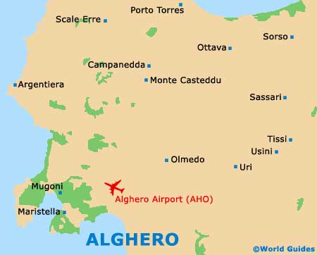
Alghero Airport (AHO)
Orientation and Maps
(Alghero, Italy)
Located on Italy's sun-drenched island of Sardinia (Sardegna), the town of Alghero is famous for its fishing port. With a population of almost 50,000 and a steady stream of tourists and visitors, Alghero is flourishing.
Most people staying in this part of Sardinia choose to fly into Alghero Airport (AHO), which is just a short distance from the town. Also nearby, Sassari and Zuari lie to the north-east, while Vilanove Monteleone is located to the south-east, off the SS292. Also worth noting, Fertilia stands around 5 km / 3 miles from Alghere, to the north-west, and is a charming coastal hamlet.
Alghero Airport (AHO) Maps: Important City Districts
Alghero's history is immediately apparent, with cobbled streets and ancient sites. Also popular with tourists are the many waterfront attractions and beaches close to the port.
Some of the nearest and most popular beaches in the Alghero area include Maria Pia Beach, off the Lido coast road. Many of the best beaches are just a few miles away along the coast of Fertilia and include Bombarde Beach, Lazzaretto Beach and Punta Negra Beach.
Much of the old town area of Alghero is dominated by seven tall defense towers, with the area also being surrounded by historic walls. Nearby is a labyrinth of small winding lanes and roads, which include the Via Carlo Alberto and the Via Roma, both of which contain plenty of places to shop and eat out.
Italy Map

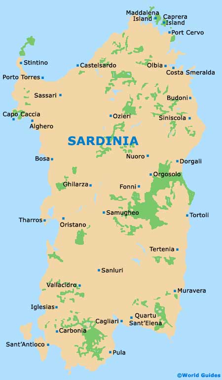
Sardinia Map
Alghero Map